If you want to know more about the markers in the Netherlands: there is a page dedicated to the bold hunters of these markers.
This page is specailly made to give you a view of two important markers for me: the Kernnet point number RD-stone 319330 Zuiddijk Hazerswoude and a non-official marker with internal number 30 in Leiderdorp on position 95715,722 / 464995,207.
The position of the RD-stone on the Zuiddijk is 100824.367 / 456543.432 and I use it for testing my accuracy. Together with the reference station Delft (that is a part of the European Geodetic Network EUREF) I can check my results. More about this can be found on this page.
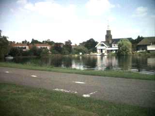
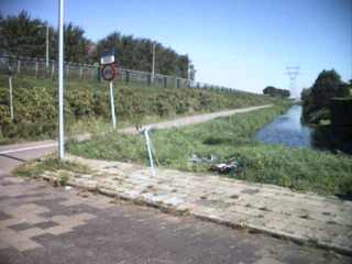
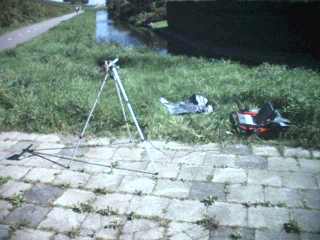
The first photograph is a view in Northwest direction. You see the path, the water and the churchtower.
-----Update starting-----
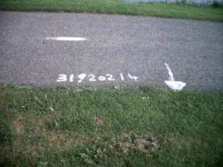
On the 10 juli 2003 (a year later) being in the neighbourhood I visited this marker. The first thing I saw was: someone has painted the right number on the road. See for yourself:
My thanks to the unknown person(s) who do their good works that escape the notices of nearly all people.
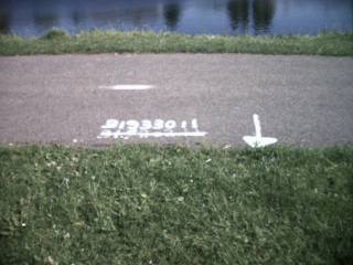
Also a new 'Meetpunt' nail was hammered into the asphalt a few meters away. Why?
-----end of update -----
----Update summer 2004 ----
In the spring of 2004 I was very surprised to see a special marker marking the Zuiddijk mark. Somewhat later that year I made this photograph (picture left).
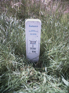
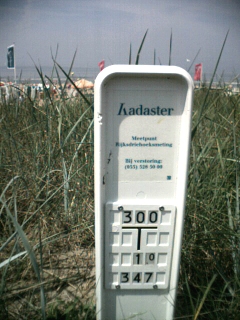
On the white plastic marker is the following blue text placed:
Kadaster
Meetpunt
Rijksdriehoeksmeting
Bij verstoring
055 5285000
319
----
|
330
04
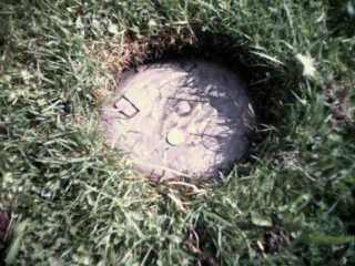
So this is quite clearly telling its surroundings that something is there and when you see it 'disturbed' you should phone someone or something. The numbers 319 and 330 make up the number of this point. Maybe this is the end of the policy to paint the number on the nearest road surface? It could be, because also the Kernnetpunt 'Steen RD Katwijk aan Zee' on 86865 / 468560 has a markerpole (foto right). While Zuiddijk is difficult to find between the grass and weeds, the one near the lighttower of Katwijk gets burried under sand all the time.
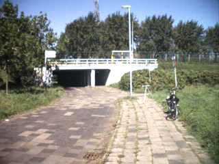
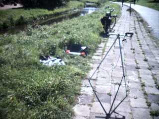
The first photograph is a view in Northerly direction. You see the tunnel, the road, my bicycle, a lamppost and between them a tripod with the GPS on it..
![]()