Here is a map.
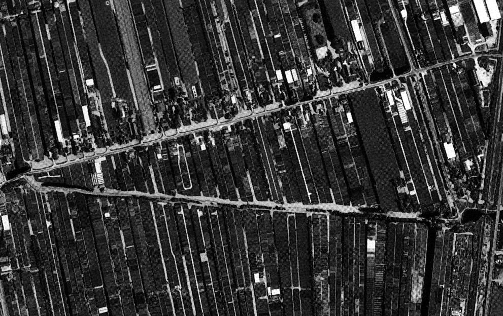
Here is an old b/w aireal photograph (spring 1989).
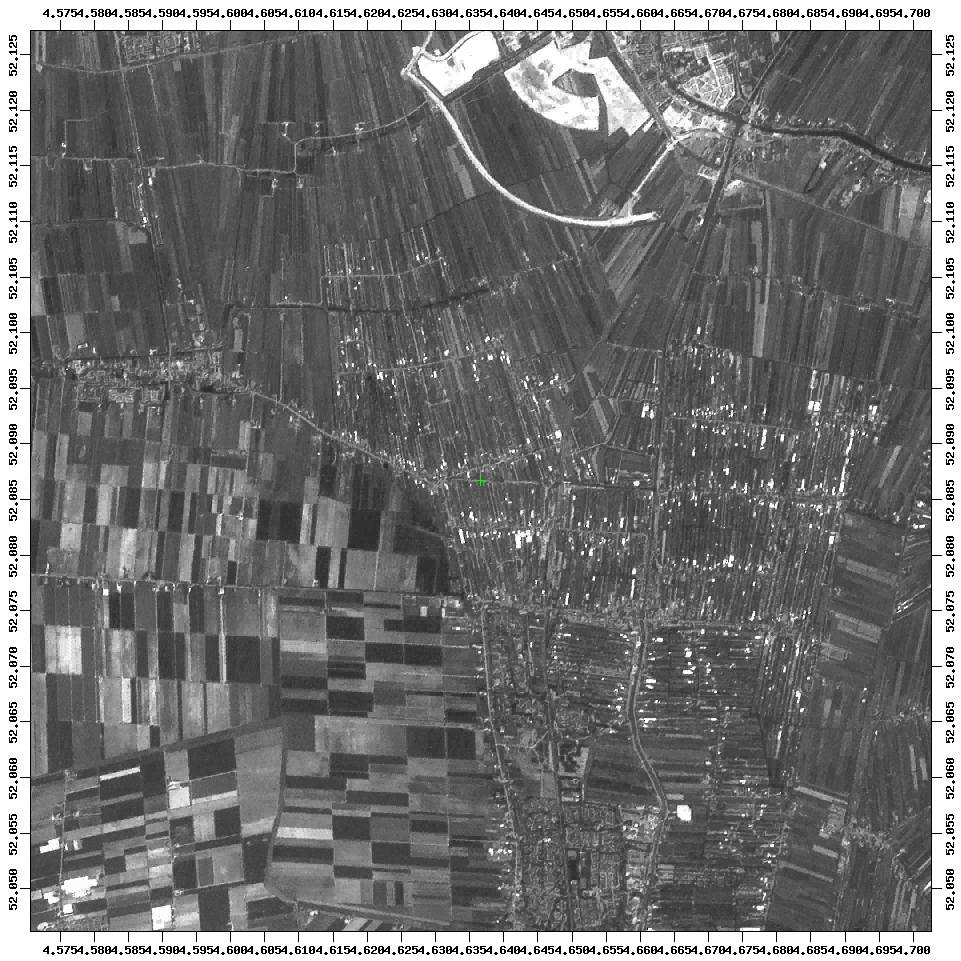
Here is a recent satellite photograph.
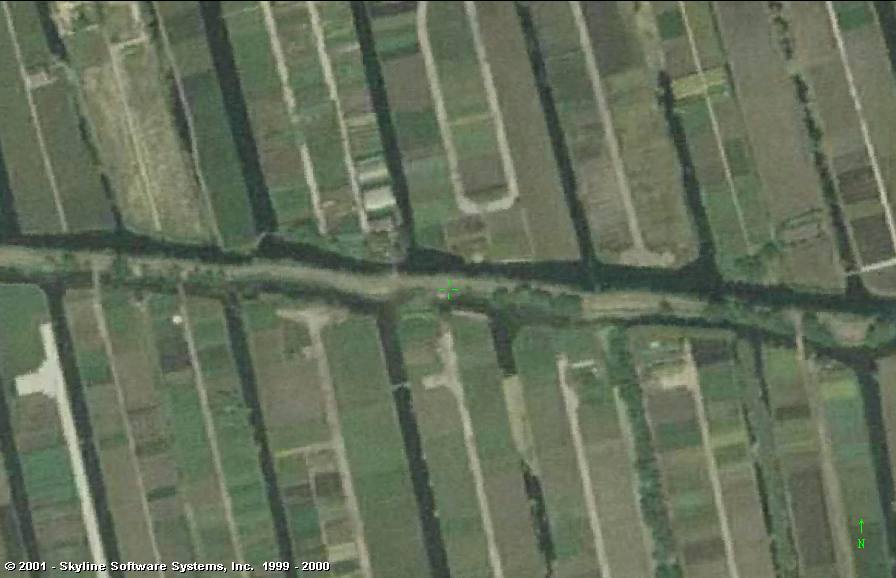
Here is a recent aireal colour photograph (summer 2000, height 300 m).
If you are on the lookout for some trees or scrubs for the garden: here is an enormous amount of consumerchoice!
De mini-cache is a tupperware box of 500 cc (10x10x5 cm) containing:You can place the car near the sluice (gates renewed in 1993) that has next to it an automated electric pumping station that is still using a centrifugal pump (snailhouse-pump) made in 1915.
The position of the pump is:Walking over the dike (there is a gangway across the lock and the sluice) you reach an unused bridgehead. Persons that have found the 'Waterval' cache before this one will know where and how to look for the cache. And that they are in need of long arms.
The path connects to a motorway at its end at
N 52° 05.229'
E 004° 37.937'
or (RD): 103.260 / 455.700
The soil in this region has a very strong urge to slide back into the canals with the result of everything becoming a swampy marsh. This is the reason for the manmade banks (Dutch: beschoeingen) everywhere you look. This detrimental effect is enlarged because trees are sold with an amount of soil around the roots. That also does not help really.
Spoiler hint and photographs: (click here)
![]()