Eindpunt (endpoint)
by Prof. Y. Lupardi
The position of this cache is (WGS-84):
N 52° 07.029'
E 004° 37.028'
Use Waypoint: GC1375
and is situated in the Kingdom of The Netherlands (Holland, Dutch, Amsterdam, Ajax, cheese, wooden shoes, tulips, dikes, cows, water, windmills etc.)
and is hidden on 7/28/2001
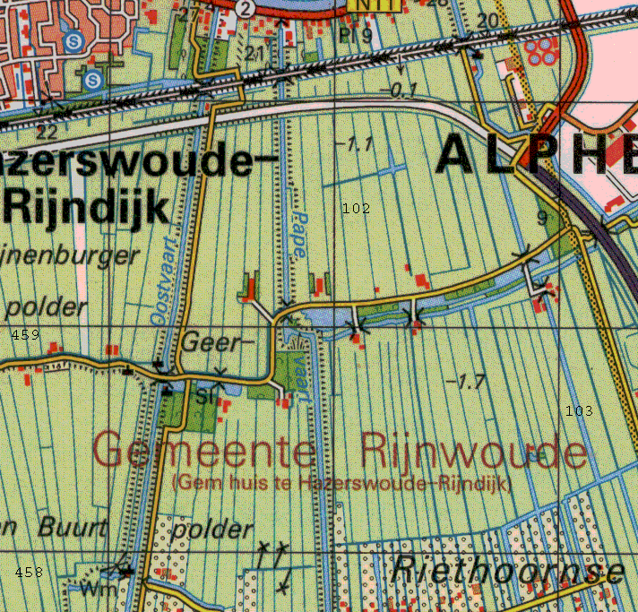
Here is a map.
Here is a scenic picture made by
the Waterboys on august 09 2001 (thanks!).
More nice pictures by F. de Bruin in jan. 2002.(Spoilers!)
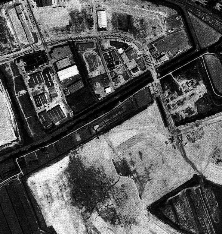
Here is an old b/w aireal photograph (spring 1989).
Here is a new (summer 2000) colour aireal photograph (height 300 m).
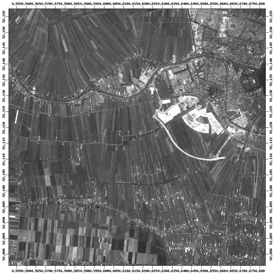
Here is a recent b/w satellite photograph.
De mini-cache is a tupperware box of 500 cc (10x10x5 cm) containing at least:
a log, pencil, eraser and sharpener.
For people who like stinging nettle soup this is a nice place to forage. It is watery and a bit swampy with high growing weeds in summer and many insects.
You can walk on the quay (simply going straight on) from position
N 52° 07.197'
E 004° 37.765'
or (RD-coords) 103 108 / 459 354
You can arrive by car on this point. Go westward.
According to the informationboard it is called Rijnstreek Kruiskade and the place is hundreds of years old. When it is impossible (no bridge) to walk on (endpoint) you are in the neighbourhood of the cache.
The walk can be shortened by going offroad on
N 52° 07.067'
E 004° 37.048'
or (RD-coords) 102 260 / 459 121
and walk along the water (pond), across the bridge and to the right to the endpoint of the path. There are some hollow trees containing ?????
You can find the cache on the topografic map (with RD-Grid) on 102 260 / 459 056
Spoiler hint and photographs: (click here)
